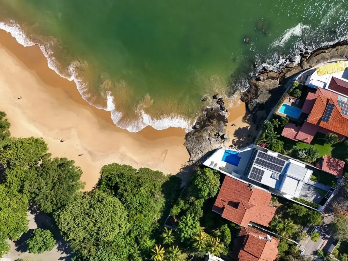
Loch Arbour is one of the smallest municipalities in New Jersey — ocean on the east, Deal Lake on the south and west, and more than half the village in mapped storm-surge hazard areas. Sandy pushed the ocean into Deal Lake and undermined Ocean Avenue.
Drainage & flood
Water on three sides, and Sandy proved it
More than half of Loch Arbour sits in mapped storm-surge hazard areas. Deal Lake wraps the southern and western edges while the Atlantic runs along the east — during Hurricane Sandy the ocean came over into Deal Lake and undermined Ocean Avenue. The lake’s normal level is only about 3.2 feet above mean high tide, so tidal events and lake backflow are the same problem from different directions.
Source: Monmouth County Hazard Mitigation Plan — Loch Arbour Village appendix
Housing stock
Eight blocks seceded to stop beachfront towers
Loch Arbour seceded from Ocean Township in 1957 after residents opposed a beachfront condominium development that would have changed the neighbourhood’s density and character. The village is roughly one-tenth of a square mile — among the smallest municipalities in New Jersey — with prewar two- and three-storey homes on wide, tree-lined streets.
Source: Wikipedia — Loch Arbour; NJ.com — Loch Arbour profile (2021)
On the ground
Beach protection and open-space acquisition
Since Sandy the village has pursued beach replenishment, dune construction and automated tidal gates on Deal Lake outfalls, along with acquisition of oceanfront open space to buffer future storms. Coastal protection work here is ongoing rather than finished — properties on Ocean Avenue still carry the highest exposure.
Source: Monmouth County Hazard Mitigation Plan — Loch Arbour; Asbury Park Sun